Learn Local and Regional Geology with Chuck Bailey and Callan Bentley
William & Mary Professor of Geology Chuck Bailey and PVCC Assistant Professor of Geology Callan Bentley have both contributed fabulous Geology Webinars on the geologic history of Nelson County and surrounding areas in collaboration with RVF. Please enjoy these Youtube videos linked below.
Kate Humphrey’s Rockfish Erosion Photo Story
A member of the RVF geology committee, Kate Humphrey has put together a wonderful photo story that looks into erosion differences along the path of the Rockfish River from it’s headwaters all the way down into the Valley. Please click the link below.
Kate Humphrey’s Rockfish Erosion Photo Story
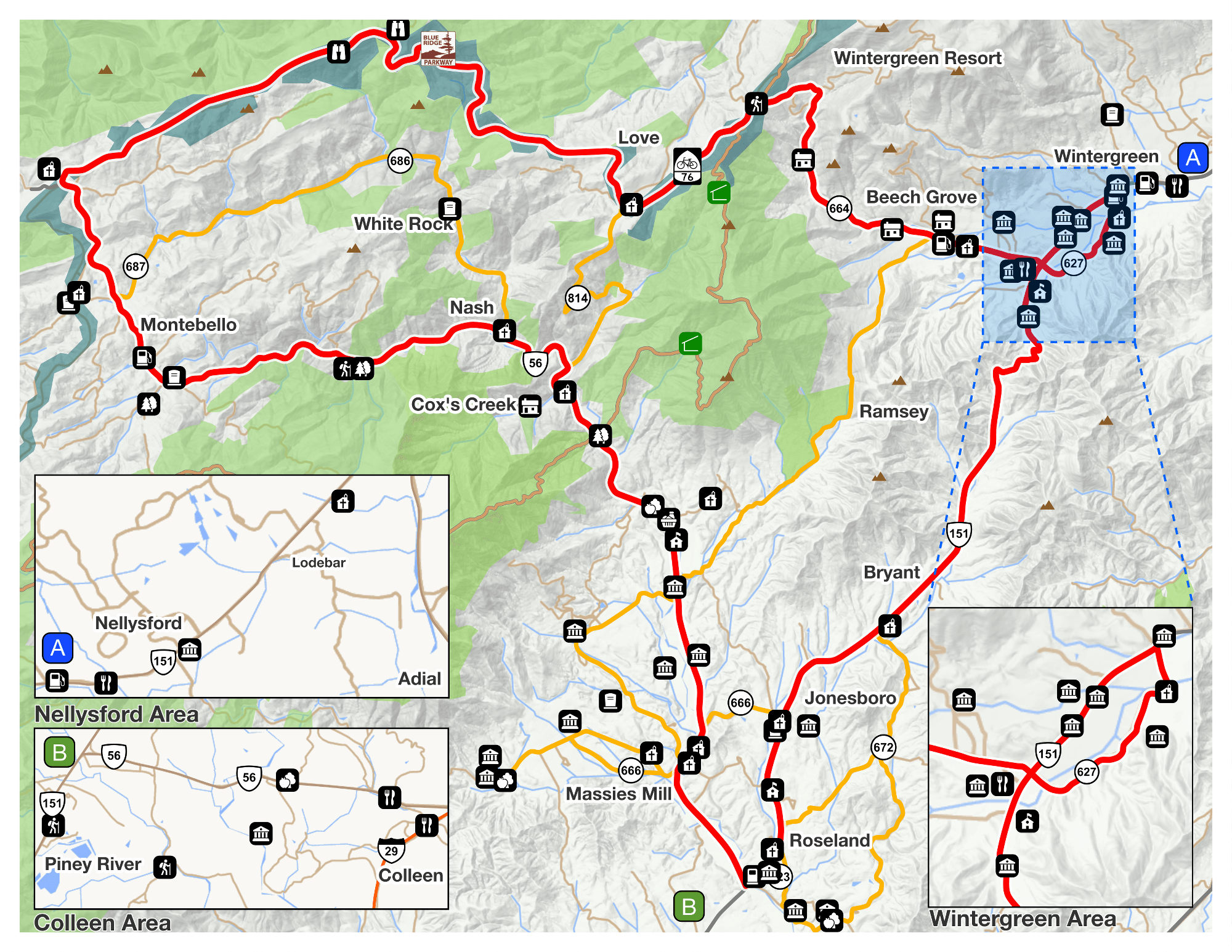
RVF Geology Trail
The Rockfish Valley Geology Trail was completed in 2011. It offers amazing views of the surrounding mountains as it follows the bank of the South Fork Rockfish River. You can access the trail from our Route 151 parking lot which is two miles south of Nellysford.
Click here to view the interactive trail brochure.
“More than one billion years ago a mountain chain, the Grenville Mountains, formed about where the Appalachians stand today. This occurred as several brittle tectonic plates joined together to form a supercontinent known AS Rodinia. As the edge of proto North America was squeezed by a continental plate (now postulated to have been a piece of present day South America) molten rock from the mantle rose into the crust, cooled slowly, and formed what would become the coarse-grained granites and gneisses of the basement rocks, those rocks that underlie all others.
Later, some 600 million years ago, after erosion had exposed the granites at the surface, this supercontinent would rift or break apart. As it did so, molten rock from the mantle once again rose, this time SPILLING ONTO to the surface, through cracks in the stretched and fractured basement rock. Thick flows of black basalt flooded the region from CENTRAL VIRGINIA up into southern Pennsylvania. With time and subsequent mountain building events this basalt would be changed or metamorphosed to greenstone now found up on the slopes of the Blue Ridge just to the west of here.
The ocean that was created in the widening basin as Rodinia rifted apart opened, then closed. THREE HUNDRED million years ago a new supercontinent, Pangaea, was formed as continental plates once again COLLILDED. This time Africa collided with the eastern edge of proto North America. Again, a great mountain chain was formed where the two continental plates collided. The Appalachians, which include the Blue Ridge, were born. As that ocean closed, collisions INVOLVING SMALLER LAND MASSES accreting to the eastern edge of North America created the stress that ultimately formed the Rockfish Valley high-strain zone. Later, 200 million years ago, Pangaea rifted apart, as Rodinia HAD DONE long before. The Atlantic Ocean filled the gap as Africa drifted away from North America. Slowly the majestic Appalachian Mountains were eroded down to a gently rolling topography. As they were later resurrected by ISOSTATIC uplift, tough resistant rock formed mountains and softer and broken rock, valleys.
STREAMS OFTEN FLOW WHERE ROCKS HAVE BEEEN FAULTED AND FRACTURED. The Rockfish River runs in one of these fault zones. The wide flood plain of the river speaks of large volumes of water carrying the weathered products of the mountains to the James River and then to the Atlantic. As the river seeks equilibrium, it wanders back and forth in the floodplain cutting new streambeds and filling old channels, leaving terraces behind.
The weathering of these mountains may be gradual, grain by grain, as a result of physical and chemical processes. Often it can be catastrophic as was the case in 1969 when Hurricane Camille struck. It has been estimated that 50% of denudation or wearing down of the mountains may occur in these frightening events that may occur every two or three thousand years at any one location. Hundreds of debris flows or landslides occurred in this part of Nelson County. Everything from the underlying rock upwards, soil, water, rocks, vegetation, slid down the mountainsides at speeds of up to 40 miles per hour destroying everything in its path. More than one hundred people lost their lives in the tragic event.
Greater detail of these events is available at the kiosk at the trailhead. Knowledge of that story helps to better appreciate how this beautiful valley came into being.”
-Chip Morgan