Hurricane Camille and its impact described and illustrated

++Camille Flow Diagram prepared and available through the courtesy of David Spears, Geologist, Virginia Department of Mines and Minerals.
Please imagine that the slide scars represent the headwaters of the S. Fork of the Rockfish River up near Wintergreen Mountain Village above elevation 3500. The torrential rains loosened the soil, the shrubs and trees. That debris began to wash down the mountain, pulling with it rocks and any other thing in its path. As the flow became larger and reached the upper valley at Beech Grove, it broadened out (represented by the debris chutes) and tore a 40 foot deep trench into the earth where Rt 664 now exists. The build up of water, material, animals, automobiles and everything in its path continued to travel under gravity into the Valley Floor at elevation 1300 and began to fan out to cover the valley (represented by debris fans) . This occurred in the middle of the night which found the occupants of the one story house in the flood plain at elevation 900 located beside the river at the existing Rt 151 Bridge asleep in their house. Many people thought the roar of the debris flows was thunder as the sky was filled with lightening. It was not. It was the roar of rocks hitting rocks. This debris flow can be estimated to have traveled at a speed of over 40 miles per hour when it reached the South Rockfish Valley you are looking at. The home, located where you are standing, of Mr. and Mrs. Ed Ewing was destroyed and their bodies recovered nearly 1/2 mile down stream. The Charlottesville Daily Progress printed adjacent photo showing the steps remaining to the house, the roof of the house on the bridge and the devastation of the site. The historic marker located beside Rt 151 recognizes the loss of lives and the devastation wrought by Hurricane Camille in the State of Virginia. It is hard to imagine the loss to the Ewing family. A brother lived in the house across the road and three siblings at ELK HILL, the home on the hill. Each woke the morning of August 20th to see the ghastly site of debris filled, flooded fields and an empty space where the Ewing family had lived and perished.
Please be respectful of this site and honor their memory along with those others lost in the storm of August 19-20, 1969. Thanks you for your visit. To obtain more information, please see the website www.rockfishvalley.org or read the introduction reproduced here from the book entitled Roar of the Heavens (2006) by Stefan Bechtel, a Charlottesville author, which is considered the best presentation of Hurricane Camille.
We are indebted to the Charlottesville Area Community Foundation (www.cacfonline.org) for its support of this exhibit and the duplication and installation of the Hurricane Camille marker.
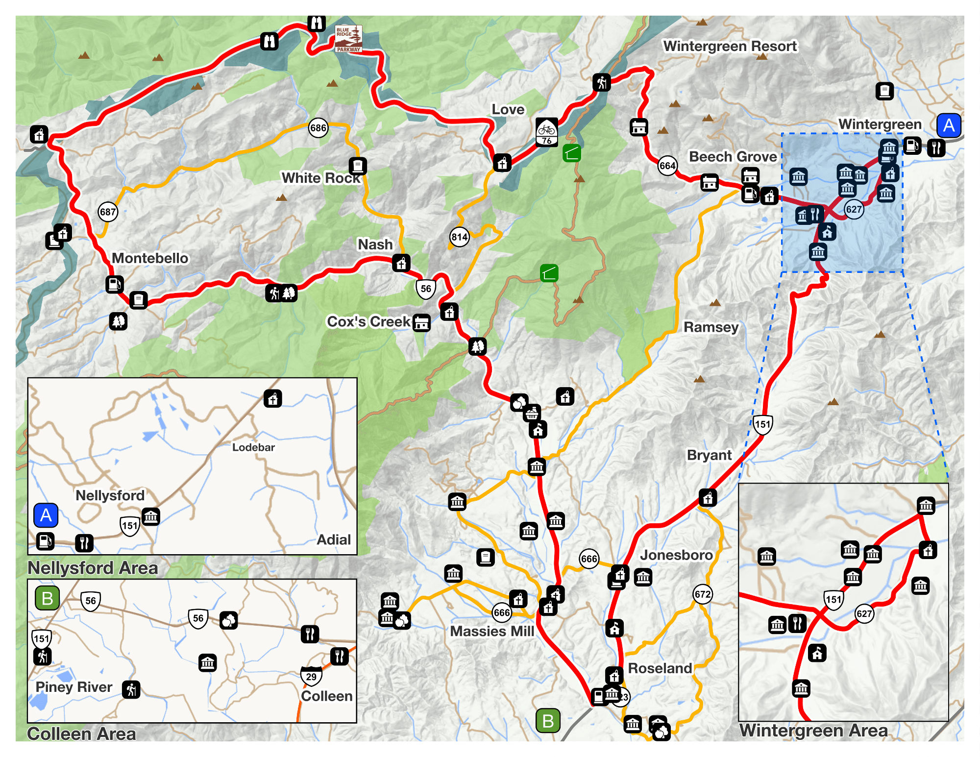
Map of Camille Sites of Interest in Nelson
Thank you to the Nelson County Museum of History in Lovingston for this fabulous document. To download it, click here.
Camile-Map-8-12-11
Other books on Hurricane Camille
Torn Land by Paige and Jerry Simpson 1970
Hurricane Camille – monster storm of the Gulf Coast by Philip D. Hearn 2004
Category 5, the story of Camille by Ernest Zebrowski and Judith A Howard 2005
Roar of the Heavens by Stefan Bechtel 2006