Table of Content
Cover Sheet
Acknowledgments
Purpose and Introduction
Hurricane Camille
History
Dam Removal and Fish Populations
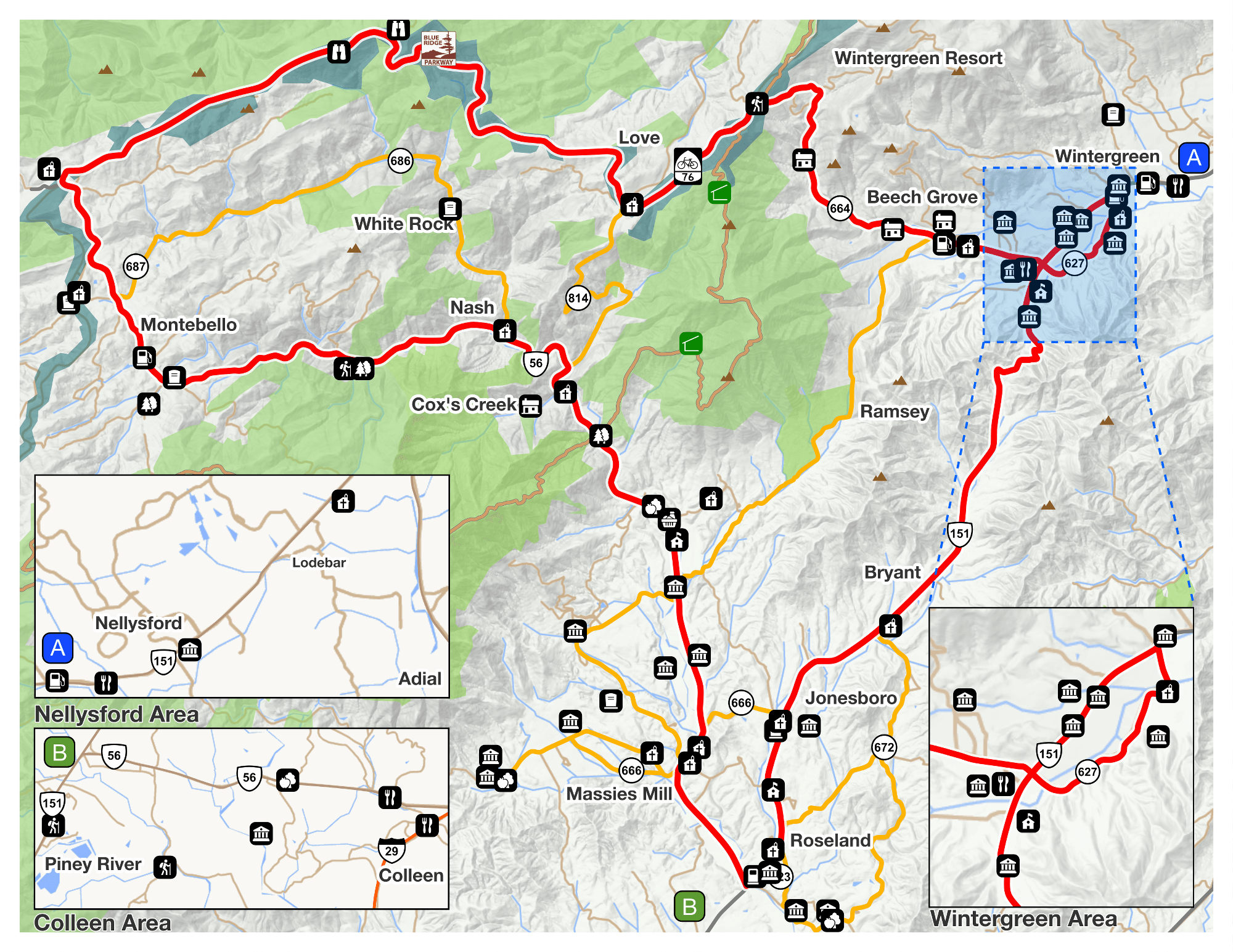
Recreation
Monitoring the River
Testing the Health of a Waterway
Runoff and Non-Point Source Pollution
Best Management Practices and Buffers
Stormwater and Erosion
Invasive Species
River Survey
Related Studies
Conclusions and Opportunities
Works Cited
This survey was strictly a visual account of the state of the Tye River. Although the overall state of the river appears to be in fair health, there were many areas that could use a extra attention and further investigation. Overall, riparian buffer zones on agricultural fields were the areas in need of restoration efforts. Most areas that were recorded as having “no buffer”, did in fact have grasses protecting the bare soil on the banks, but these areas did not have trees or enough substantial vegetation to withstand extended periods of adverse weather conditions. These areas have presented, in this study, the most opportunity for restoration on the river.
Some of the waypoints taken describe a man-made structure on the banks of the river, such as bridges, old culverts, the old dam remnants and some other unidentified structures. Each of these structures has a historical significance to the river and the surrounding community. A brief history was given at the beginning of this report, but has the potential for an expanded investigation. Hurricane Camille reigns as the most historic moment in Nelson County and has significantly affected the natural and cultural history of the area. Many reports, books and journals have been written about Camille but a pointed study about natural history with regard to the storm could offer a better understanding of the significant changes that occurred after August of 1969.
The Virginia Department of Game and Inland fisheries has already slated further monitoring of the fish populations on the Tye for 2010 or 2011. The populations are expected to change, even slightly, since the Quinn dam was removed. A future study could be done to examine the different species that are now abundant in the Tye and what that means for ecosystem stability.
This visual survey was an attempt to identify any restoration opportunity on the Tye River. Restoration in the form of riparian buffers can be noted as most important. The Thomas Jefferson Soil and Water Conservation District (TJS&WCD) is available to help landowners or even local organizations with riparian zone management. More information can be found on the TJS&WCD website at (http://www.tjswcd.org). The most degradation witnessed on the Tye River was the bulldozed site between waypoint 149 and 151 in Section 4. A restoration project to cover the bare soil could help minimize sediment loading in the river. The other point of concern was at point 182 in Section 6 at the Route 626 Bridge where cattle was witnessed wading in the water. The landowner could eliminate the use of the river by the cattle and implement a safer more environmentally sound watering source. The most commendable restoration effort was in Section 2 at waypoints 88 and 89. The landowner has implemented his own riparian restoration and bank stabilization. In future studies, individual landowners could be contacted and provided suggestions for restoration plans.
There is an opportunity for future studies regarding recreation. The Blue Ridge Railway Trail has been very successful in expanding and publicizing the trail. The natural and cultural histories of the trail are two aspects that could be further investigated and incorporated into the informational kiosks at the trail heads. Also, a survey of the uses of the Tye River for fishing, swimming and canoeing could be helpful. Citizens’ opinions and suggestions could help make recreation on the Tye more enjoyable.
The Tye River is considered an impaired waterway due to its high toxicity level. According to James Beckley of DEQ, monitoring of the Tye River has been temporarily halted but is scheduled to resume within two to three years of its scheduled TMDL development date. . Citizen Monitoring is a program of the Department of Environmental Quality that encourages citizens to participate in monitoring of any stream of their choosing. The data collected can be submitted to DEQ and analyzed by the agency. There is an opportunity for Nelson County’s participation in this program with regard to the Tye River. Non-point source pollution is one of the most significant factors in toxicity in the Tye. An in-depth survey of the exact land uses surrounding the Tye River could provide more information regarding non-point sources. Another major cause of the polluted waters of the Tye is its polluted tributaries. A study that examines the health of the main tributaries, Piney River, Buffalo River and Rucker Run could identify some sources of pollution.
The North Fork of the Tye River was excluded in this study due to certain limitations. There has been no data collected on this area to the knowledge of FORW and RVF and the project’s constituents. The Rosgen Stream Classification Method, as discussed earlier, could be incorporated in the upper reaches of the Tye. Understanding the morphology and geology, the first two steps in the Rosgen Method, could shed light on the existing stream conditions. The third step entails assessing the stream’s health condition and potential, while the fourth is verifying the field data. This is the most appropriate method to assess a stretch of river, such as the North Fork that has little or no updated biological, chemical or physical data.
An intensive study could be done examining the state of the Tye River before Hurricane Camille and after and what could be done or has been done to counteract the detrimental changes to the Tye caused by the flood. Stormwater monitoring is necessary to assure that the river can maintain bank stabilization in the event of heavy rain and possible flooding. Bank erosion and stormwater are two factors that could be further analyzed in a future study.
The National Park Service can be contacted for more information on non-native and invasive plant species. Although, some invasive plant species were identified in this survey, there was no defined documentation or analysis. Invasive plant species pose a serious threat to the native riverscape. A study of invasive plants could involve field identification of invasive species versus native species and how that affects the ecosystem stability. The Department of Conservation and Recreation (DCR) plays in integral part in the control of invasive species in Virginia. According to Paul Clarke, a representative from DCR, there are many projects ongoing and in planning that regard the control of invasive species. The DCR is involved in both state and national policies for invasive species control. Some of the particular species that are currently being controlled are Microstegium, Russian Olive, Garlic mustard and Tree of Heaven. Phragmites is another invasive species that DCR works with extensively. Phragmites are found in wetlands and according to Paul Clarke, in this region they are particularly abundant on the Eastern Shore, Northern Neck and much of the southeast region of Virginia. An map that shows the areas in which DCR has documented the presence of Phragmites can be found at http://128.172.160.130/phrag/. Other resourceful websites for specific and generic information about invasive species are listed below.
http://www.dcr.virginia.gov/natural_heritage/invspfactsheets.shtml http://www.dcr.virginia.gov/natural_heritage/vaisc/index.htm http://www.dcr.virginia.gov/natural_heritage/invspinfo.shtml ww.dcr.virginia.gov/natural_heritage/documents/invlist.pdf www.dcr.virginia.gov/natural_heritage/documents/mnginv.pdf www.dcr.virginia.gov/natural_heritage/vaisc/documents/VISMP_final.pdf www.invasivespeciesinfo.gov/unitedstates/va.shtml www.vnps.org/invasive.html ww.dof.virginia.gov/health/indx.shtml www.fs.fed.us/foresthealth/management/fhm-invasive.shtml www.bugwood.org/