Table of Content
Cover Sheet
Acknowledgments
Purpose and Introduction
Hurricane Camille
History
Dam Removal and Fish Populations
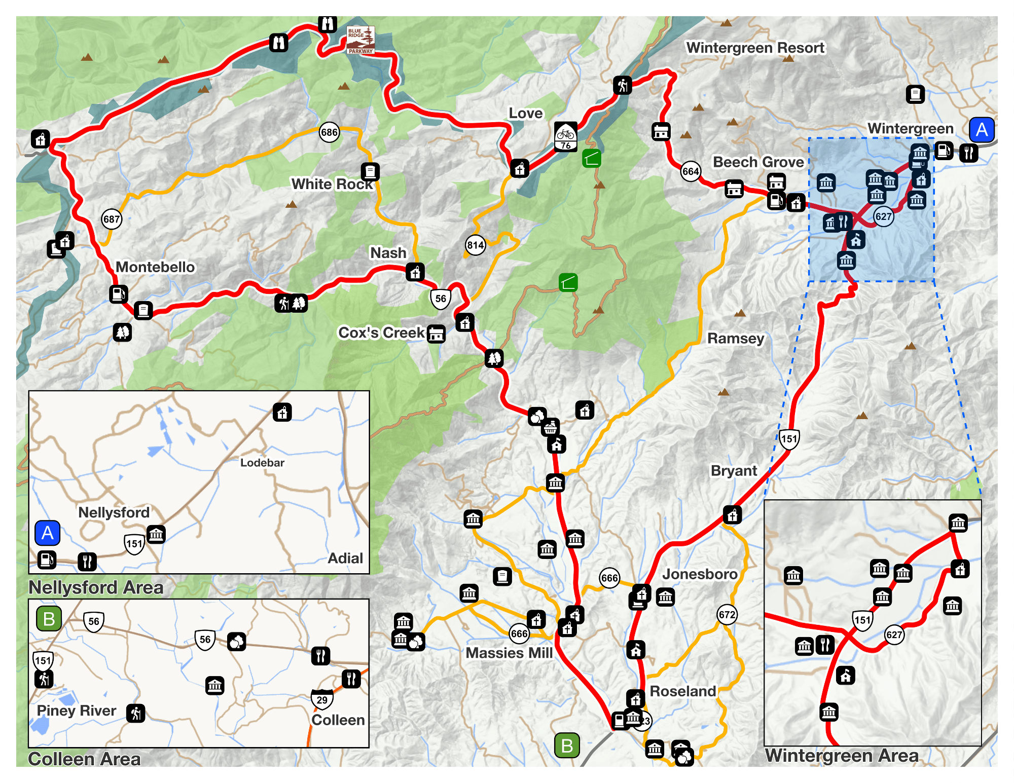
Recreation
Monitoring the River
Testing the Health of a Waterway
Runoff and Non-Point Source Pollution
Best Management Practices and Buffers
Stormwater and Erosion
Invasive Species
River Survey
Related Studies
Conclusions and Opportunities
Works Cited
To complete this survey, the Tye River was broken into six sections. With regard to water levels and convenience, the sections were not approached consecutively from top to bottom. The waypoints documented are consecutive in the section only. They are not consecutive between sections. The description of the observation in the data sheets uses the orientation of “River Right” and “River Left”. This is the appropriate direction when heading downstream. Each section is listed below with a description of some of the most prominent observations within that section. Additional information can be found in the attached spreadsheets.
Section One: Appalachian Trail –> Snugdale
The visual survey begins at the suspension bridge on the Appalachian Trail—a popular spot for tourist and local citizens. There is adequate public river access at the bridge. Footpaths, campsites and private residences make up the majority of the river’s edge. This section was not navigable by boat at the time it was tested. The gage read that the river’s flow was 31 cfs. There are many large boulders that make up the river substrate in this section. These features provide ideal trout habitat, making this a popular stretch of river for trout fishing. This area has many postings for trout stocking. This section ends at the low flow bridge on Snugdale Lane off of Route 56.
Section Two: Snugdale –> 151/56
This was the first section surveyed and was the highest documented flow at 63 cfs compared to other days of surveying. A particular farm was seen in this section using the river water to irrigate its crops. The water was being pumped directly out of the river by a large pipe. It is undetermined what the effects are of this irrigation method on the river. Also, the details of the frequency of use and particular method is unknown.
This stretch of river flows through cleared paths for private river access, but also approaches public river access at waypoint 53 in Section 1. The Sierra Club, a nationwide environmental interest group, developed a trail and river access at this point. The head of the footpath on Route 56 has a memorial for the victims of Hurricane Camille. The path leads to a wooded picnic area. The banks of this public access area have, overtime, been steeply eroded. The severe erosion now prevents any possible access to the water. The local chapter of The Sierra Club has made efforts to restore the eroded bank to no avail. Restoration will only be provided by the county if they have full cooperation from the adjacent landowners. No compromise has been found. Bank stabilization is needed to prevent any further damage to this public area.
Three areas along this stretch of river were noted as having manmade bank stabilization. Rip-rap and wire netting were the two materials used. Although these materials are not a natural addition to the river bank, this option helps prevent further erosion.
Section Three: 151/56 –> Gaging station
In this section we found a more natural form of manmade bank stabilization. The landowner planted trees along the bank of the river where the land appears to be pasture land behind the newly planted buffer.
In this section there is a concrete structure that was apparently an old bridge or dam. At this site there is an obvious footpath leading to the river.
At one site a farmer has placed fence posts in the river to allow the grazing cattle limited access to the river.
Section Four: Gaging station –> Phoenix Bridge
This section is where the river begins to lead away from the road. In this stretch of river, we witnessed a “Farm Use” vehicle crossing the river to access the pasture land on the other side. It is very possible that this is a frequently used “path.” The Piney River flows into the Tye in this section. Also the Virginia Blue Ridge Railway Trail crosses over the Tye. One private residence is noted as having heavily pruned trees on the property with a steep incline adjacent to the river. This section of the river seemed to have more areas with cattle grazing land, and fewer buffer zones along the bank. However, no cattle were actually witnessed grazing in this section. Also, there were more footpaths and other access points in this section than in any other.
Section Five: Phoenix Bridge –> Rucker Run
Although the majority of this section is far from the road, this is where we found the most need for restoration. A large land-clearing project has taken place on this section of the river. The area has been cleared of all trees, shrubs and grasses. One small section appears to have grass seeds spread. However the majority of the cleared land is left as bare dirt. The repercussions of this practice are discussed in an early section about erosion.
Ruckers Run, which is on the Impaired Waters List flows into the Tye at a public access area that denoted the end of this section. The access point is comprised of a beach a shallow swimming area. It is apparent from the large quantity of litter and ashes that this is a heavily used area. This area, at the time of the survey, had more litter than other access points with litter.
Section Six: Rucker Run –> James River
Near the confluence of Rucker Run and the Tye River two juvenile bald eagles were spotted. The riparian vegetation provided a spot for nesting and hunting.
An old bridge support is found in this stretch of river. Some of the remaining spikes could pose a hazard to canoeists if the water level were high enough to cover the spikes. It’s possible that the water level may rarely rise high enough above the structure to present hazardous conditions. At the time of the survey the flow was marked at 26 cfs which is the lowest level during the course of the survey.
This was the only section where cattle were actually witnessed in the river. The land is a few miles upstream from the James River. Having cattle in the river at this point will not only directly affect the Tye but will also carry contaminants into the James.
The survey was completed at the confluence of the Tye River and the James River. At this point, on the right side there is a large tract of pasture land with private river access.